Echoes on the hill: Hiking the ancient strongholds of Cademuir, Peebles
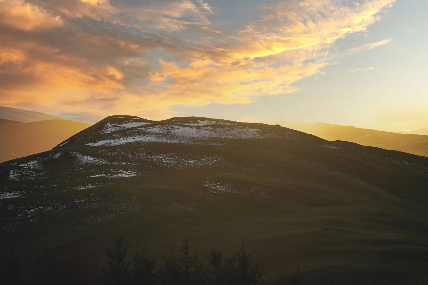
The summit of Cademuir from Cademuir plantation - note the terraced groundwork around the peak - Photo by Sean Kinnear
Rising just southwest of the historic market town of Peebles in the Scottish Borders, Cademuir Hill stands as a remarkably well-preserved window into Scotland's prehistoric past. Long before the stone towers of Neidpath Castle or the bustling mill towns of the Tweed Valley were established, this ridge was a fortified hub of the Iron Age and the Early Middle Ages.
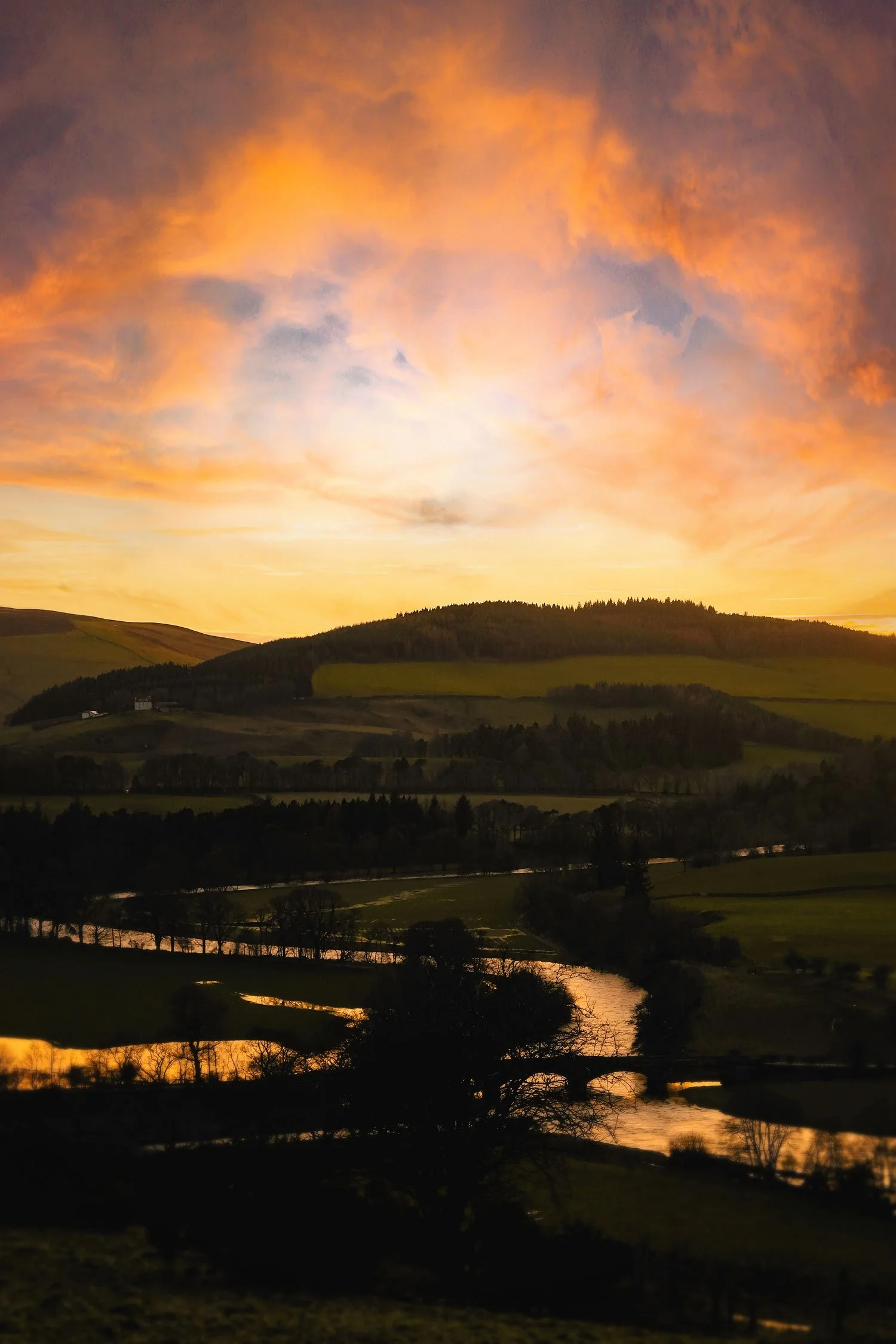
Today, it offers hikers a perfect blend of rich archaeological exploration and sweeping, panoramic views across the Manor Water and the River Tweed.
The name: From Cumbric roots to Gaelic tongues
The modern name Cademuir serves as a multi-layered linguistic fossil from a bygone age. Long after the Romans departed, this region - known as Yr Hen Ogledd (The Old North) - was populated by Brythonic Celtic peoples who spoke Cumbric, a sister language to Old Welsh.
When Gaelic speakers later swept into the Borders as the Kingdom of Alba expanded, they heard the old Cumbric name and naturally morphed it into their own tongue:
The Cumbric Cad (battle) was adapted into the Gaelic Cadh or Cath (battle).
The Cumbric Muir/Mor (great) blended into the Gaelic Mòr (great/large).
For centuries, locals likely called the ridge Cadh Mòr (pronounced ka-mor), preserving the exact meaning: "The Great Battle-Site" or "The Ridge of the Great Host." Standing on the wind-swept summit today, the name heavily implies that these ramparts witnessed a significant conflict.
The strongholds of the Gododdin and the Arthurian link
The hillsides here were the territory of the Gododdin, a heroic warrior society immortalised in some of the oldest surviving poetry of the British Isles. Rather than functioning purely as active military bases, these "forts" were robustly fortified hilltop villages where communities lived, raised livestock, and retreated in times of warfare.
Cademuir's reputation as a "great battle-site" has led several prominent historians and Arthurian theorists to link the hill directly to the Twelve Legendary Battles of King Arthur, as recorded in the 9th-century Historia Brittonum.
Specifically, proponents of the "Northern Arthur" theory argue that Cademuir is a prime candidate for Arthur’s seventh conflict: Cat Coit Celidon (The Battle in the Caledonian Forest). Historically, the dense, ancient Caledonian Forest choked the valleys flanking Cademuir Hill, making this massive hill fort the logical high ground where Celtic forces would have rallied to clash with invading Anglo-Saxons.
Archaeologists have identified two primary structures along the high ridge:
Cademuir I (The Eastern Fort): Crowning the main western summit of the ridge, this massive settlement spans over two hectares. Experts have mapped the foundations of at least 35 timber round-houses (marked by distinct ring-grooves in the turf) with space for dozens more. It was essentially a small Iron Age town.
Cademuir II (The Western Fort): Situated on a lower, rocky knoll farther down the spur, this smaller fort features incredibly thick stone defensive walls - up to 6 meters wide in some places.
Look out for the Chevaux de Frise: Just outside the walls of the western fort lies one of Scotland's rarest defensive features. Over 100 upright stones remain embedded in the ground. This ancient anti-cavalry tactic was designed to trip up invading horses or break the charge of an oncoming enemy - perhaps even the very cavalry charges described in early Arthurian battle lore.
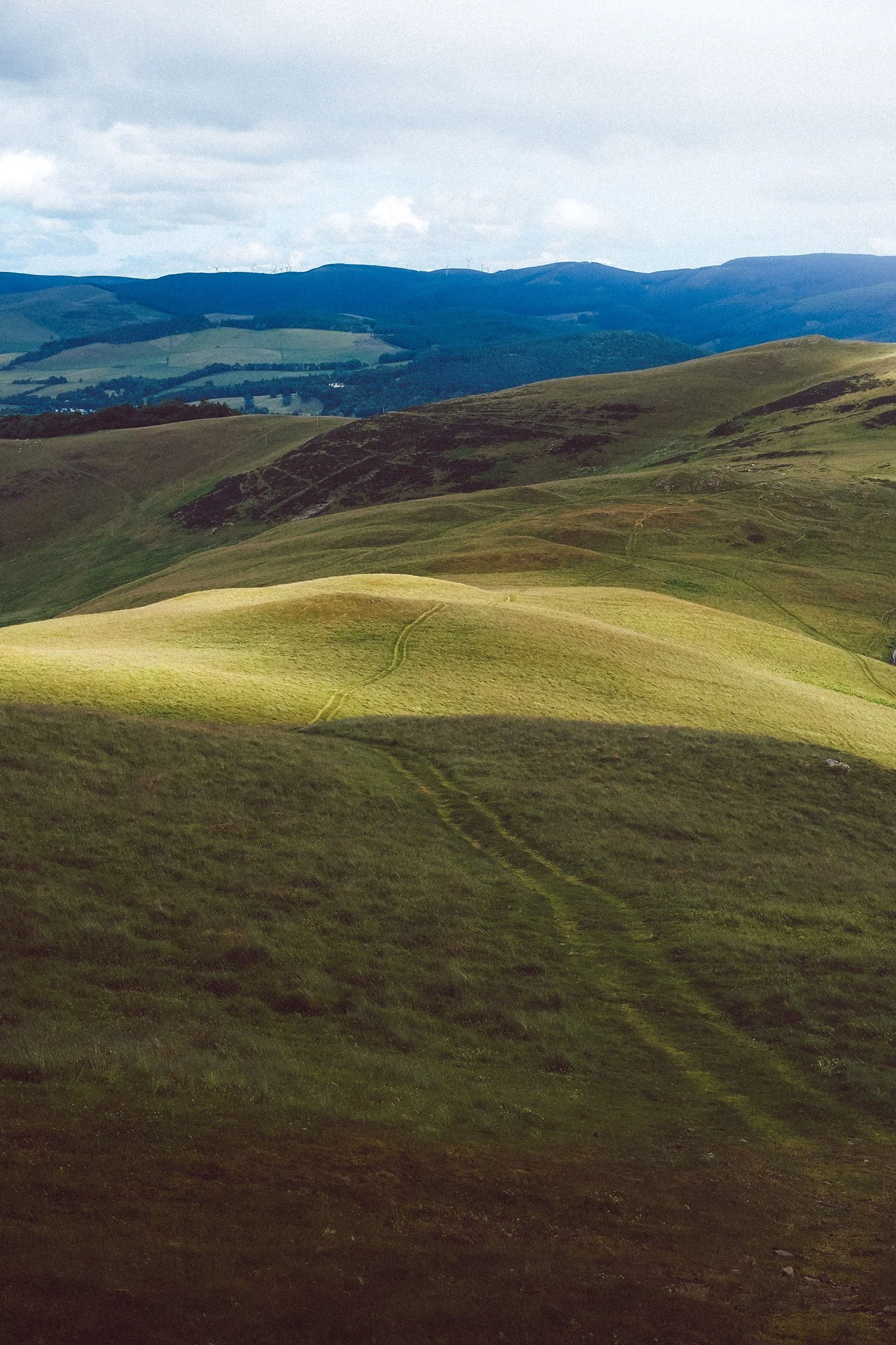
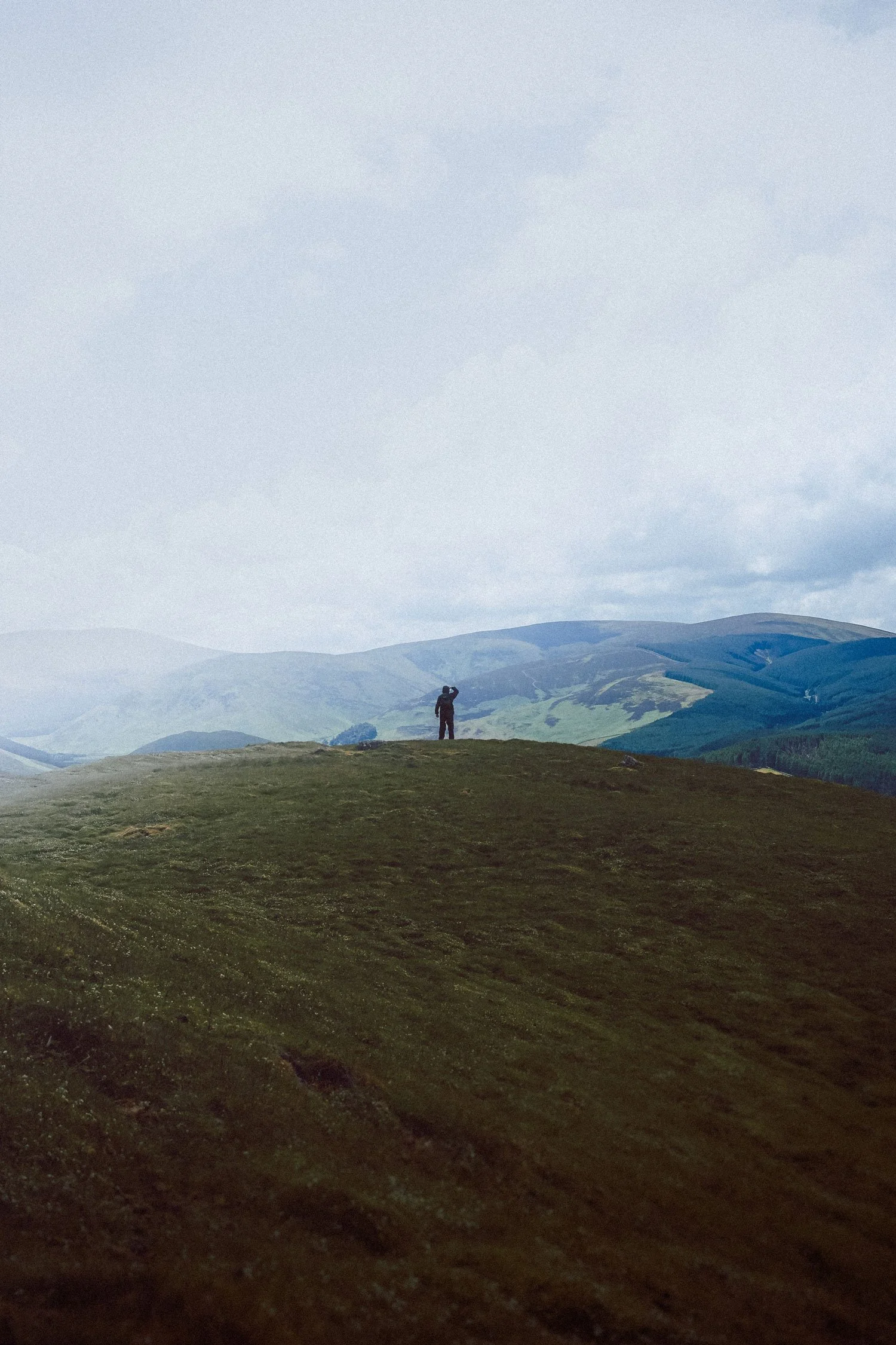
Pictured: (Left) Part of the John Buchan trail leading up to the summit of Cademuir. (Right) On the summit - Photos by Sean Kinnear
Hiking the ridge: The John Buchan way
To experience this landscape exactly as the ancients did, hikers can follow a classic circular route from Peebles that utilises a portion of the John Buchan Way - a long-distance trail named after the famous author of The Thirty-Nine Steps, who drew creative inspiration from these very hills.
Trail Summary
Distance
13 km (approx. 8 miles)
Time
3.5 to 4.5 hours
Difficulty
Moderate (mostly clear tracks, plantation trails, steep sections near summits)
Terrain
Grassy hill paths, riverside trails, plantation tracks and minor roads
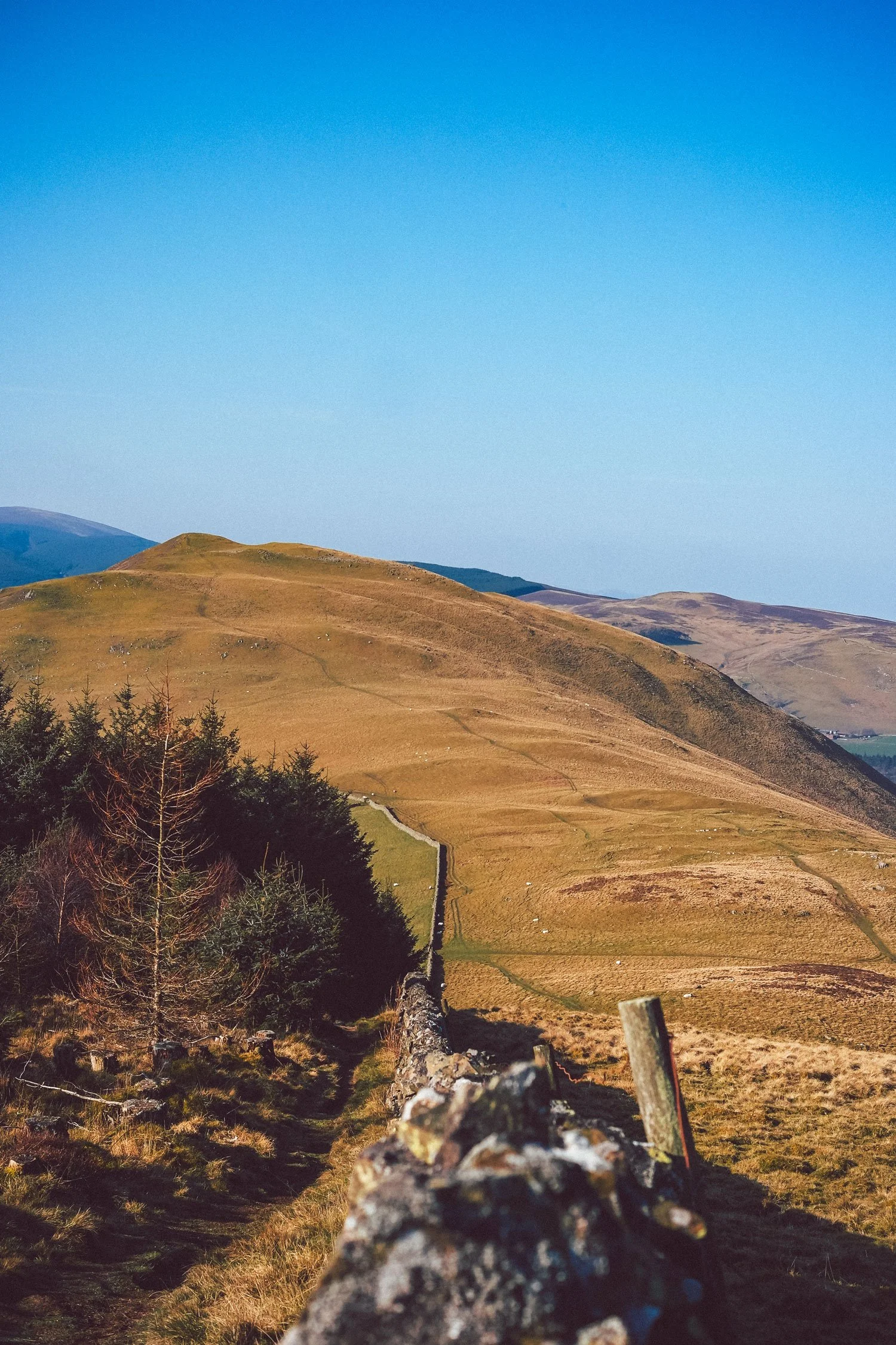
Pictured: (Left) A trail leading to the summit of Cademuir - the exposed grey band at the top marking a wall of the hill fort. (Right) Views of the Tweed from Manor Sware - Photos by Sean Kinnear
The route guide
1. The climb from Peebles: Start: Kingsmeadows Car Park.
Depart south from the town centre and climb up towards Morning Hill. As you gain elevation, the modern town of Peebles shrinks below, opening up wide views of the Tweed Valley.
2. Traversing the Hill Forts: The High Ridge.
Follow the ridge line westward along the John Buchan Way. You will walk straight through the grassy ramparts of Cademuir I and II. Keep an eye out for the distinct circular depressions in the grass where family round-houses stood millennia ago, and look for the upright stones of the chevaux de frise.
3. Descent into the Manor Valley: Sweeping River Views.
Descend northwest off the ridge towards Milton cottage. The trail offers breathtaking views of the Manor Water snaking through the valley below - a view John Buchan once poetically described as meandering "like the scrawl of a pen of a bad writer."
4. The River Tweed return: History in Contrast.
Follow the peaceful banks of the River Tweed back toward town. On this final stretch, you'll pass Manor Bridge and the formidable 14th-century Neidpath Castle, providing a stark visual contrast between Iron Age earthworks and medieval stone fortresses.
Alternative route: Please note that walkers can take an alternative route - walking up via Manor Sware and down via the Cademuir plantation.
Tips for the trail
Footwear: The high sections of Cademuir can become muddy and slick after heavy rainfall; sturdy walking boots with good grip are highly recommended.
Binoculars: Bring a pair along. The elevated ridge provides prime vantage points for spotting local birds of prey, including buzzards and kestrels, hovering over the valley slopes.